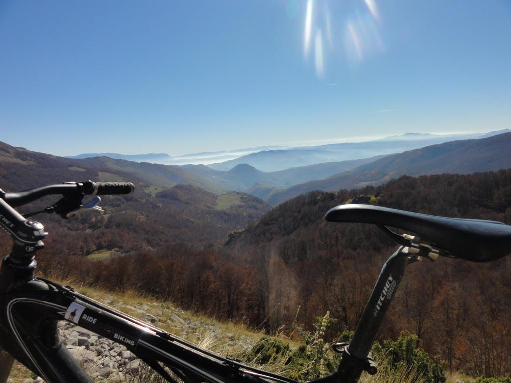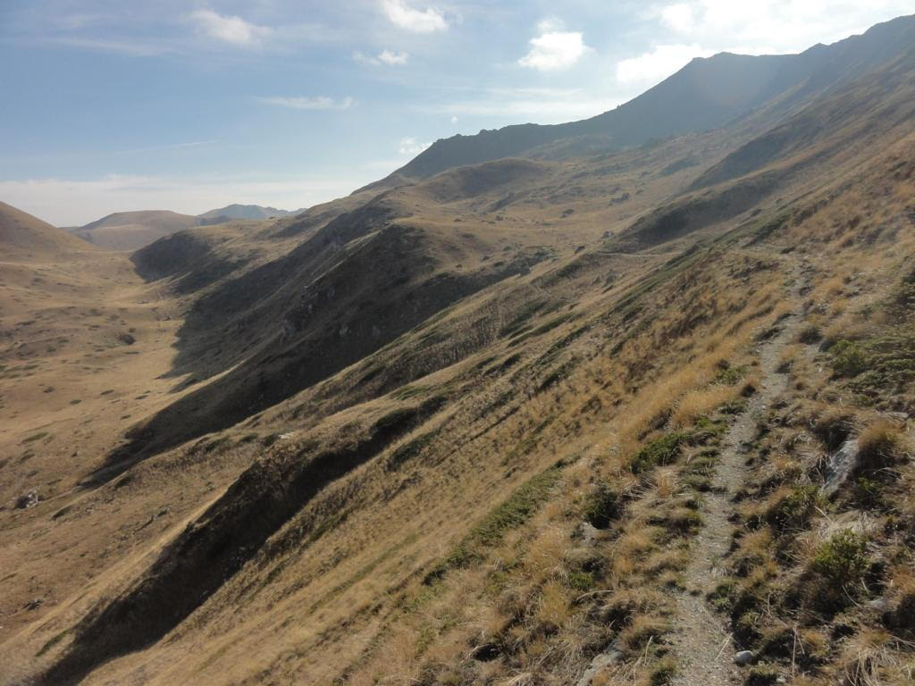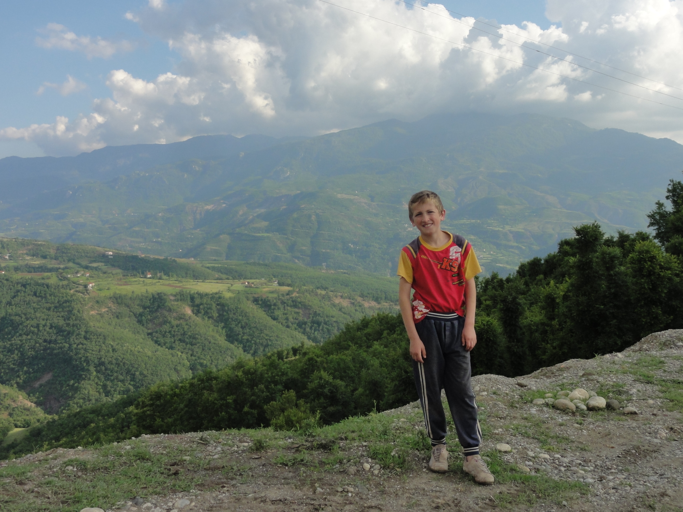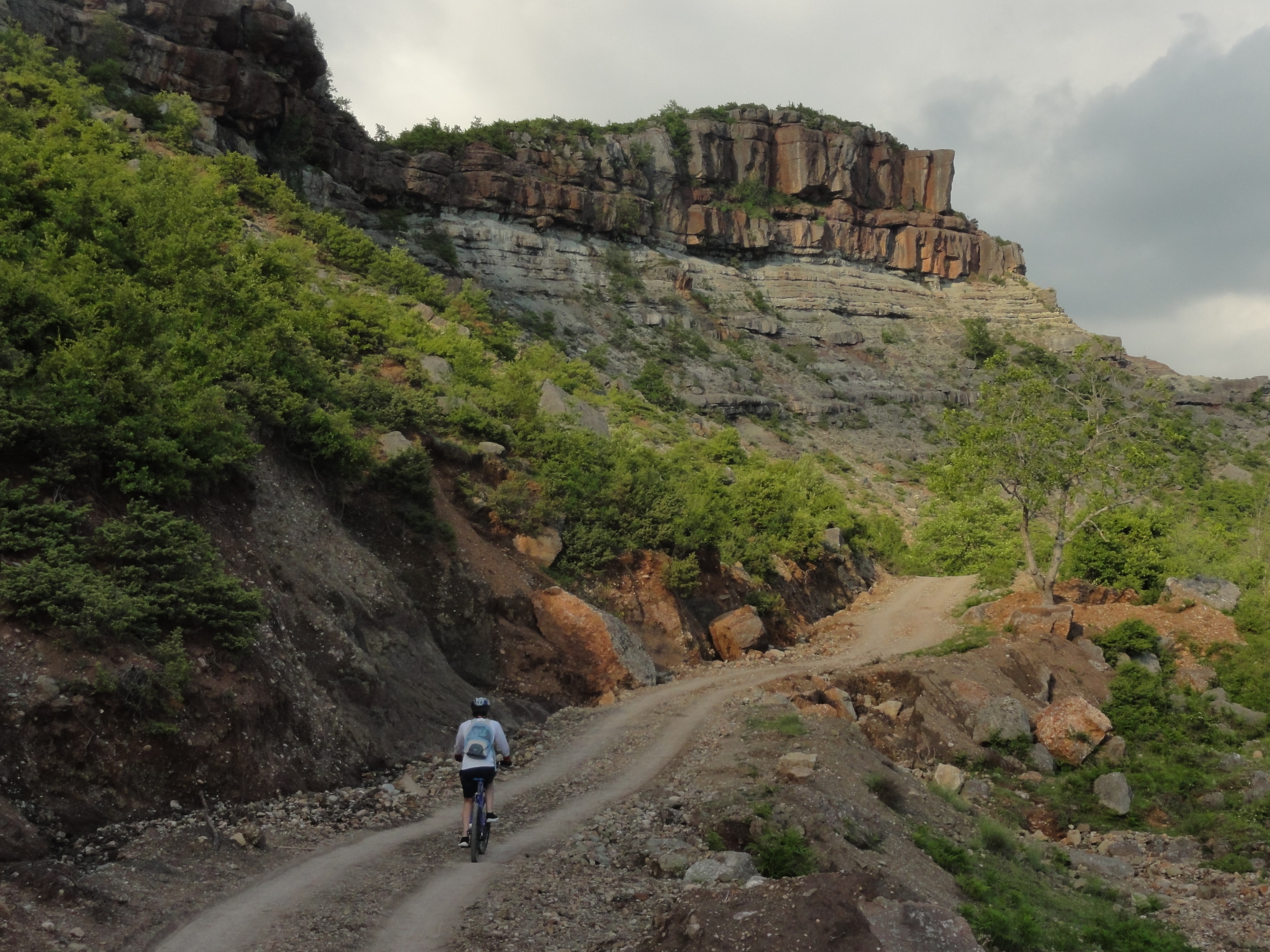
2015/16 we developed for the International Union for Conservation of Nature IUCN and funded by Cooperazione Italiana a variety of bike tours in the national park of Shebenik-Jabllanice.
![]()

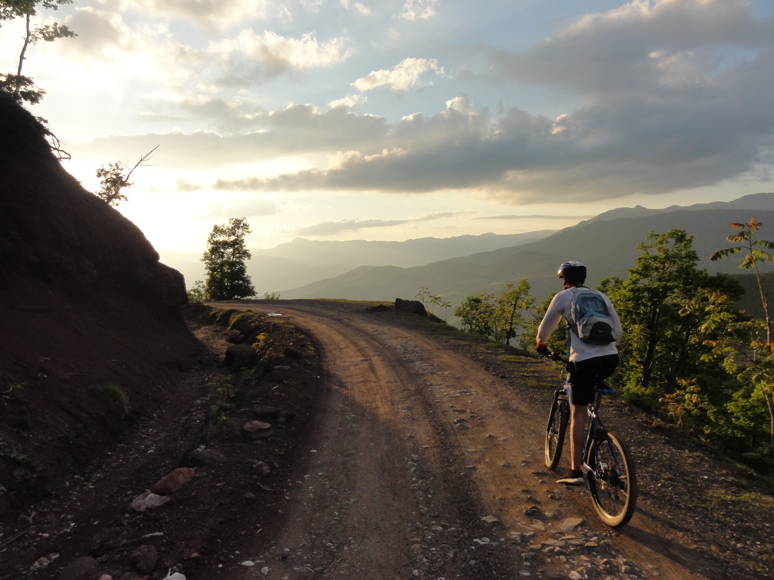
Thanks to this you get here & now the FREE tour descriptions and all accompanying GPX-FILES – 14x half-and full-day tours in this beautiful untouched national park in central Albania. Full of clean air, pure nature – and lots of biking fun.
Get the tour descriptions here:
Final report Shebenik-Jabllanice trails
1 – Roundtour above Fushe Stude 2 – Fushe Stude to Guri Zi 3 – Fushe Stude to Stebleve 4- Stebleve to Rrajce 5- Zgosht to Kosharisht and back 6- Alternative roundtour Zgosht Kosharisht Zgosht via asphalt 7- Librazdh to Qarrishte 8- Along the river Rapuni 9- Roundtour Librazdh to Librazdh Katund Gizavesht Dorezi Librazdh 10- Roundtour Librazdh to Dragostunje Librazdh 11- Qarrishte to Dragostunje Librazdh 12- Roundtour Qukes to Skroske Pishkash Qukes 13- Roundtour Rrajce to Skenderbej Rrajce
X NOT TESTED, but for explorers at own risk Qukes into the mountains and down to Skenderbej Rrajce
And here the according gpx-files for your own navigation with a smartphone or handheld:
1._Roundtour_above_FusheStude_22km__620m.gpx
2._FusheStude_to_GuriZi_ONE_WAY_15km__610_-250.gpx
3._FusheStude_to_Stebleve_9.5km__260_-170.gpx
4._Stebleve_to_Rajce_42km__1300_-1900_.gpx
5._Zgosht_Kosharishte_and_back_15km__600m.gpxx
6._Alternative_Roundtour_Zgosht_Koshar_Zgosht_19km__700.gpx
7._Librazdh_to_Qarrishte_ONE_WAY_21km__1150.gpx
8._Along_the_river_Rapunit_ONE_WAY_7km__200.gpx
9._Roundtour_Librazdh_to_LibrazdhKatund_to_Gizavesht_Dorezi_back_to_Librazdh_26km__850.gpx
10._Roundtour_Librazdh_to_Dragostunje_to_Librazdh_14km__450m.gpx
11._Qarrishte-Dragostunje-Librazdh_25km__500m.gpx
12._Roundtour_Qukes_Skroske_Pishkash_Qukes_25km__700m.gpx
13._Roundtour_Rrajce_Skenderbej_Rajce_20km__750m.gpx
Disclaimer
The present report and its associated bike trail recommendations, maps and gpx-files have been created with care. This report and all its associated files reflect the situation on the ground in spring 2016. We will not be held responsible for any accidents/losses from the use of any information, maps or files you find here. The trails shown are mountain bike trails, some of them in remote areas far from villages. Always ride safe with the appropriate equipment, including helmet, first aid kit, water, food, communication tools with emergency numbers, and inform yourself about the local weather and conditions.
Coming soon in the same style: Tours & gpx for Permet, Vlora valley/Himare, and Kelmend! Stay tuned, lucky you 😉